ORBIT · CATALOGUE VOL. 001 · WINTER 2026
Art from a higher perspective.
Editioned cartographic art of coastlines, lighthouses, and the places you’re from. Museum-grade paper. Signed, numbered, shipped ready to hang.
Designed in Winona, Ontario. Delivered worldwide.
EDITIONS · VOL. 001 · LIGHTHOUSES OF CANADA · 5 STATIONS LIVE
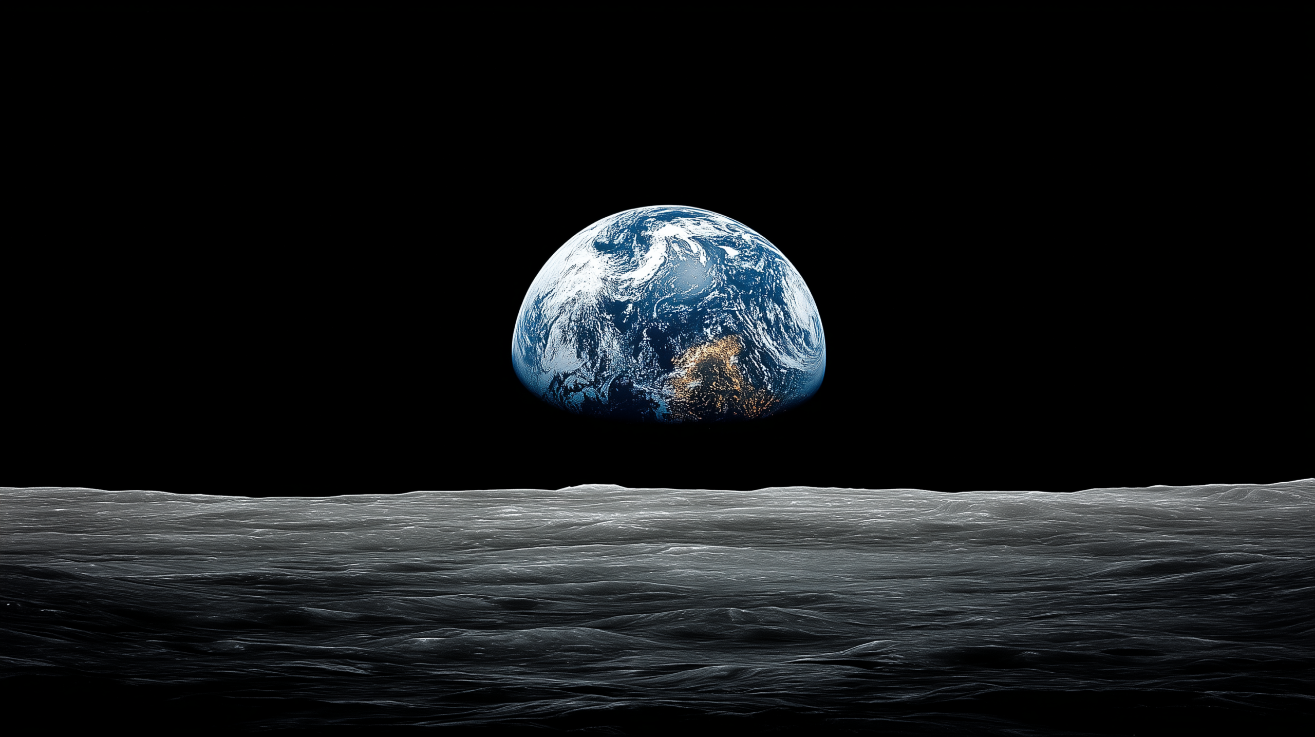
NASA · APOLLO 8 · EARTHRISE · 1968-12-24
PHOTOGRAPH · WILLIAM ANDERS · LUNAR ORBIT
Every coordinate has a story.
The view from a satellite is indifferent to human attachment, and that indifference is the thing that makes it honest. A coastline seen from directly above becomes pure form, no season, no weather, no story written by the light at a particular hour. What remains is the thing itself: the geometry of rock and water, the cartography of home rendered in coordinates and contour.
The photographs we print exist because they were taken by someone standing in a specific place at a specific moment, deciding that this angle, this light, this frame belonged on a wall where someone could live with it for years. The map is not an illustration of a place. The map is a portrait of a place.
To make something that lives between cartography and portraiture is to make something that asks a visitor to remember what they already know about that place. Not to sell them back their own geography. To make them see it the way a satellite sees it: clearly, as a place where they belong and have always belonged.
Choose your subject.
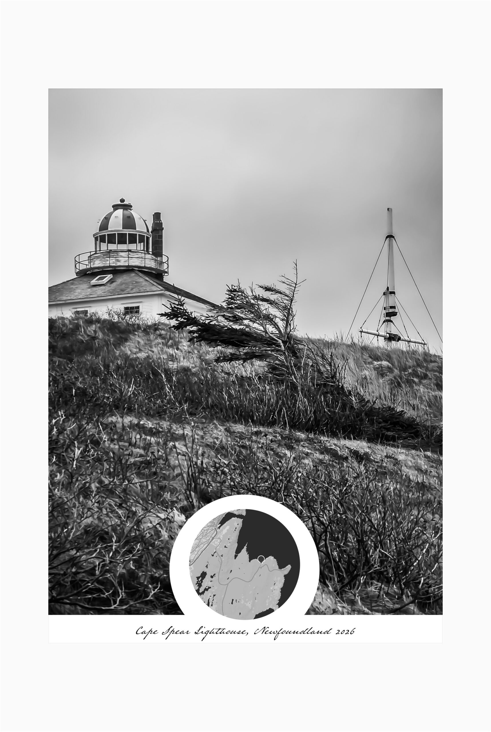
Coasts
Draft — coasts description. Studio.
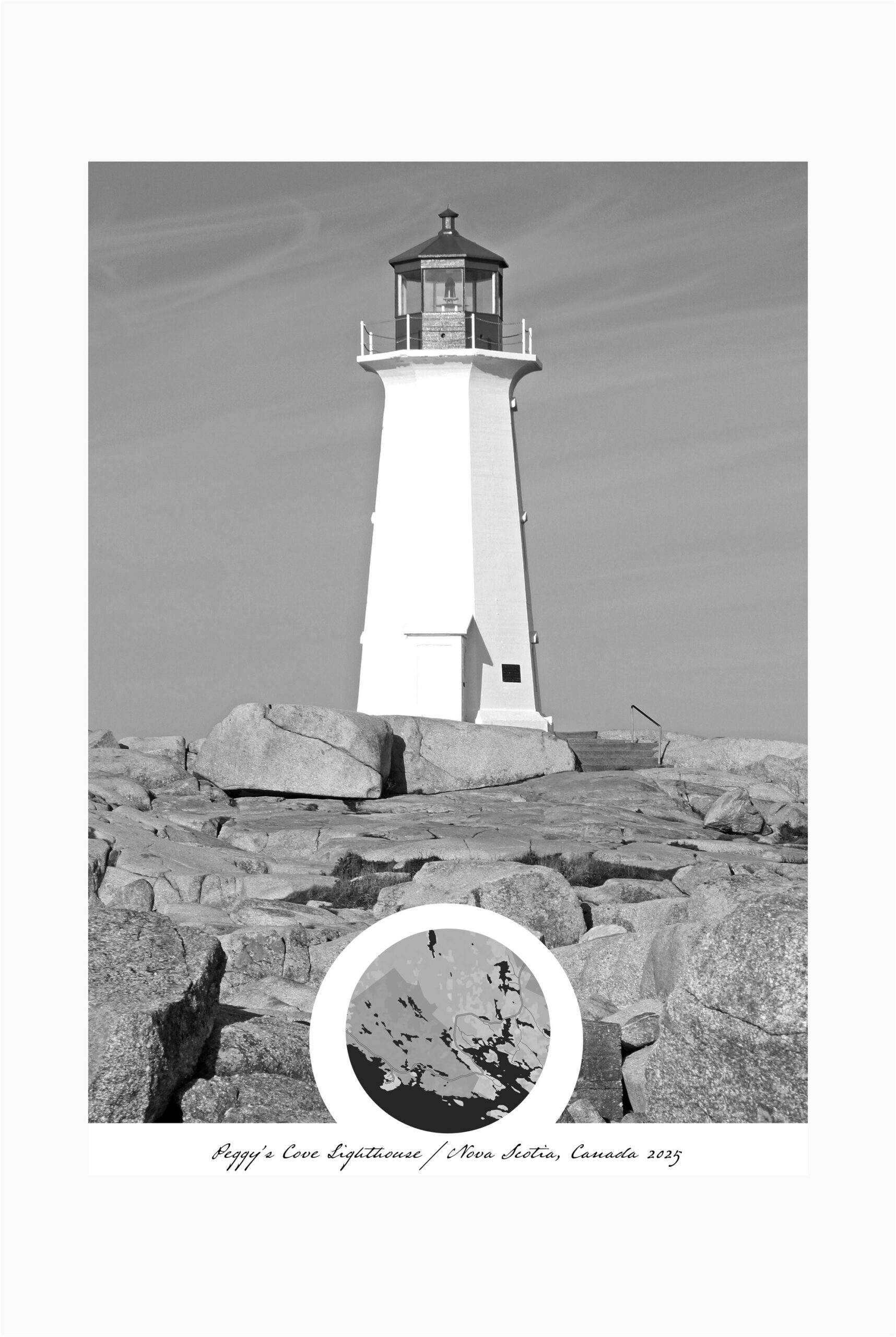
Cities
Draft — cities description. Studio.
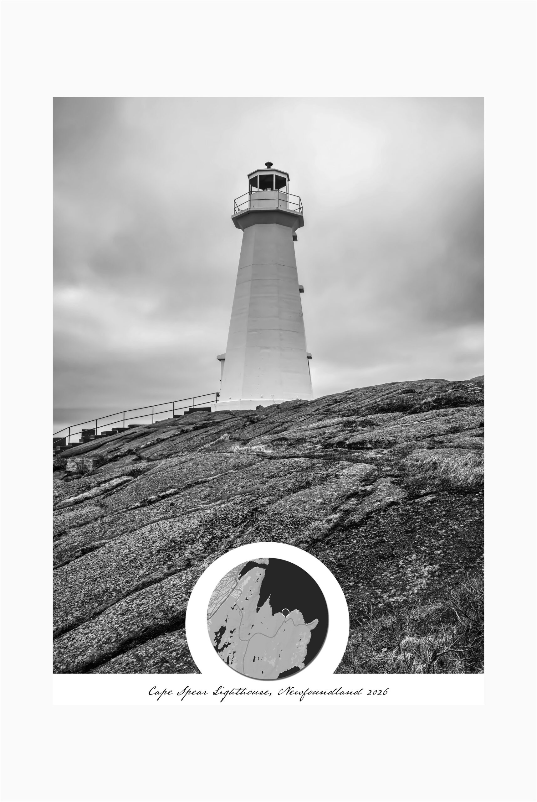
Landmarks
Draft — landmarks description. Studio.
Custom
Draft — custom description. Studio.
Editioned volumes. Once released, never reprinted.
Draft — Studio to write. The philosophy of the Art House editions: limited runs, curated themes, signature volumes released once and archived. Each volume tells a story of a place or an idea, rendered across a set of prints that belong together.
MANIFEST · 001 · WINTER 2026
The Lighthouses of Canada.
Your one place, on your wall.
Commission a CustomNo spam. Unsubscribe anytime.